
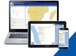
Online portal facilitating the discovery, visualisation, evaluation, and access to geospatial data held by government institutions.
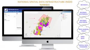
The Geographic Portal for the Regional Spatial Data Infrastructure (RSDI) and an online portal facilitating the discovery, visualization, evaluation, and access to geospatial information.